The Weed Manager’s Guide To Remote Detection
- Home
- About us
- Detecting weeds
- Get involved
- Resources
The detection of weeds in Australia is crucial as the first step towards management and control. Traditionally, detection of weed populations in a landscape was, and still is,undertaken by land managers as part of routine surveillance using manual ground searching methods and typically required significant labour, time, resources, and expense to cover the distances to obtain the data. As a result, there remains a limited number of available weed map datasets.

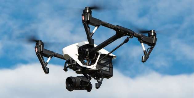
Remote sensing is broadly defined as the science of recognising and monitoring the natural attributes of a location by measuring the emitted or reflected radiation of these attributes. This is usually measured by sensors located off the ground via an aerial platform, such as a satellite, aircraft, or drone (also called an Unmanned Aerial vehicle, or UAV).
Remote sensing is a proficient and cost-effective way to acquire geospatial data over significant areas. It offers an alternative approach to traditional manual weed surveillance methods, by facilitating the ability to detect distinctive plant species via the measurement of their individual reflected energy spectra from significant distances. This process is what is referred to as weed remote detection.
There are, however, numerous challenges associated with the use of this technology. Due to the technical complexities of this field of science, we aim to provide a starting point for those desiring to use remote sensing for weed detection and will provide the outcomes from a recent project supported by the Department of Agriculture, Fisheries and Forestry, entitled: The weed manager’s guide to remote detection: understanding the opportunities and limitations of multi-resolution and multi-modal technologies for remote detection of weeds in heterogeneous landscapes.
The guidelines in this site, combined with a newly established supportive and progressive learning community (The Weed Remote Sensing Community of Practice – WRS CoP - see “Get Involved” to join), will aim to make these technologies more accessible to land managers into the future.
There are several applications of the use of remote sensing for weed detection in various landscapes.
The first application is within an agricultural context and is associated with the identification of weeds in crop fields. Weed species are typically detectable among crop plants, since they are uniquely distinguishable from the surrounding monoculture, thereby facilitating the successful detection from remotely sensed data acquired across paddocks.
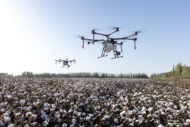
This can lead to more effective control of plants when detected at early growth stages, since they are more vulnerable to control applications. With the advent of spray drones/robots, aerial control post-detection is becoming increasingly popular, achieving precise identification and control over significant distances with reduced labour costs.
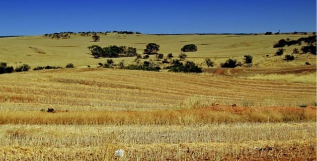
An additional and a more challenging aspect of weed remote detection is to identify existing weed populations over large naturalised areas, where weed species intermingle with visually similar species and landscape features across a heterogeneous environment. Weeds requiring eradication in Australian natural landscapes, such as the Hawkweeds (Hieracium spp.) in Kosciuszko National Park, are an example of this. Remote detection has historically been highly valuable in identifying individual plants across wild and often inaccessible terrain.
Although success has been achieved using common cameras mounted on UAVs, they must be flown at lower heights or with high resolution cameras to generate a successful result to allow for enough detail to be provided in the image for precise identification of individual plants. Such a task however incurs significant cost due to the flight time required to cover widespread areas.
The real aim, therefore, of remote weed detection is to detect plants effectively at higher altitudes, where imagery acquisition becomes cheaper. To date, this has been less successful due to the low resolution of these images and the overlapping vegetation and landscape features which can mask the identity of target plants. The application of artificial intelligence to these images has provided a potential solution, where computer models are “trained” to identify target plants within many images. Modeling the relationship between lower to higher resolution images may also be attempted as a way of detecting target plants from lower resolution test imagery.

Remote weed detection also has applications in assessing the success of weed control efforts, where temporal data acquired across a site highlight differences in population spread and changes in weed frequency post-control. Additional applications of weed remote sensing include the monitoring of post-fire/flood recovery of vegetation and weed populations, a result typically more easily achieved due to the absence of canopy and other vegetation which would normally reduce detection capacity.