The Weed Manager’s Guide To Remote Detection
- Home
- About us
- Detecting weeds
- Get involved
- Resources
Now searching for:
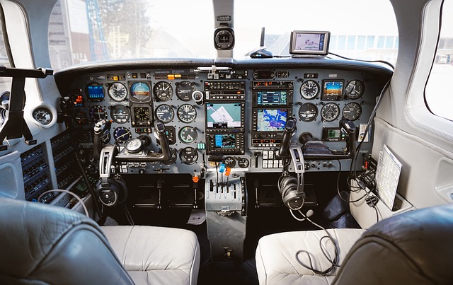
Crewed aircraft, the traditional backbone of aviation, have been a cornerstone in transportation, exploration, and defense for decades.
Piloted by skilled aviators, crewed aircraft range from small planes to massive commercial airliners and military jets. These aircraft carry passengers, freight, and perform a variety of missions, including reconnaissance, search and rescue, and air-to-air combat.
While crewed aircraft offer unparalleled human decision-making capabilities, they require significant resources, infrastructure, and fuel, making them more expensive and sometimes less efficient for certain tasks compared to UAVs.
Beyond their traditional roles in transportation and defense, crewed aircraft have found innovative applications in environmental monitoring, such as vegetation mapping. Equipped with advanced sensors and imaging technology, crewed aircraft can capture high-resolution aerial imagery, enabling detailed analysis of vegetation cover, health, and changes over time.

Each state government branch provides access to aerial imagery, which can be ordered but tends to be coarser than UAV acquired imagery.
Fixed wing aircraft imagery, like satellite imagery, will be more suitable for detecting weed species with a large growth habit or those infesting larger areas. Contact links for available aerial imagery across Australia are provided below: