The Weed Manager’s Guide To Remote Detection
Now searching for:
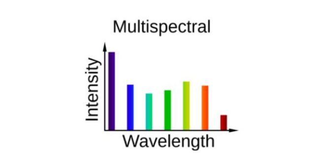
Multispectral imagery (MS) refers to imagery which records more channels than just the 3 common RGB, leading to a finer resolution of spectral intensities, with up to 10 channels recorded per pixel.
This means that each pixel in a multispectral image contains more information about the amount of light that is reflected or emitted by that pixel at a particular wavelength. The wavelengths that are captured in a MS image can be chosen to match the specific application. For example, images that are used to map vegetation may capture data in the visible and near-infrared (NIR) wavelengths, while images that are used to detect water may capture data in the infrared (IR) wavelengths.

This is because different materials and objects reflect and emit light differently at different wavelengths. By capturing data in multiple wavelengths, MS imagery can be used to distinguish between different materials and objects.
For example, water reflects more NIR light than it does visible light, so MS imagery can be used to detect water that is invisible in RGB imagery. A disadvantage of MS imagery is that it requires more specialised equipment than RGB imagery. Multispectral cameras are also more expensive and more complex to use than RGB cameras.
Finally, the extra information that is provided by multispectral imagery can make it more computationally expensive to process, analyse, and interpret the data.
Multispectral sensors have been useful to identify different target weeds, such as hawkweed, bitou bush and African lovegrass, where detections against the lookalike species in the landscape are more easily facilitated via the greater number of channels that lead to finer resolution of spectral intensities.
Geonadir Types of Environmental sensors for drones Scroll to the discussions on Multispectral sensors:
Geonadir Multispectral drone mapping unpacked
Descriptions on the principles behind the sensors that capture this imagery