The Weed Manager’s Guide To Remote Detection
- Home
- About us
- Detecting weeds
- Get involved
- Resources
Now searching for:
Equally important to documenting species in the region of interest is the characterization of other site features which appear in imagery and may lead to incorrect detections, particularly in low resolution imagery.
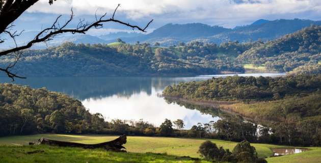
Features such as rock, water, trees etc can be used as markers in the imagery and their documentation can assist in stitching the various imagery together, useful when using more complex sensors. Understanding the features of the terrain will be important for determining accessibility to the site and identifying potential suitable positions for UAV take-off areas. It will also assist in developing the flight plans that must be programmed into the UAV so that it can fly the designated region of interest.

A description of the variability in elevation observed across a region (e.g. cliffs and hills) will also be critical since imagery taken across various heights as a result of variable terrain can lead to changes in resolution of imagery as a result of flying higher or lower to the ground surface. UAV features, such as terrain-following will be required to mitigate the effects of elevation variability on imagery resolution .