The Weed Manager’s Guide To Remote Detection
- Home
- About us
- Detecting weeds
- Get involved
- Resources
Now searching for:
The recording of weather and landscape data are also important aspects of the ground truth process, since both features will impact labelling accuracy and therefore later detection accuracy.

In particular, weather features, such as sunlight and wind, are key attributes to consider, given they impact flight success and image quality. Higher wind velocities tend to de-stabilise UAVs during flights, which can lead to significant image distortion. Flying under very high wind velocities can also lead to flight failure and UAV crashes, a highly expensive process for any mission. When flying drones under windy conditions, maintaining safety and data quality is paramount. Adhere to manufacturer-specified wind speed limits, utilise drones with advanced stabilisation systems, and plan flight paths considering wind direction. Real-time monitoring of telemetry data and adherence to emergency procedures are crucial, ensuring the drone's stability and a safe return to home if needed. Additionally, stay informed about weather forecasts and consider adjusting altitude to minimise the impact of strong winds. By prioritising these factors, operators can navigate windy conditions effectively while ensuring a successful and secure UAV mission.
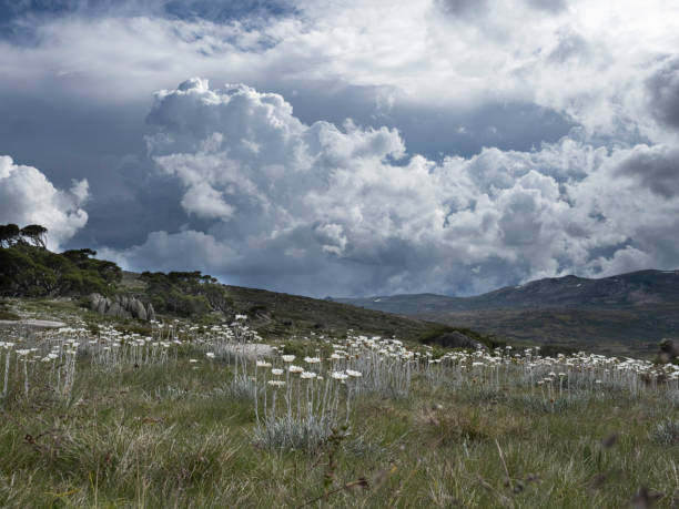
Light conditions are extremely important for image clarity. Cloud cover results in shadows which can lead to image distortion and dark images. This will then impact the training of models for later detection since the image pixels will be darker in colour and will not be reflective of the true colours of the target species in the landscape. Cloud cover of more than 60% will likely lead to issues in image quality, and so it will be important to conduct flights on days when cloud cover is less prevalent.
Light conditions are also impacted by daylength, which changes through the year. Imagery will be of highest quality when the light is maximised. This will be when the sun is highest in the sky, as days get longer. Conducting weed detection missions during winter months in Australia (with the shortest day length) will therefore mean that flight windows will also be shorter (generally between the hours of 11am to 3pm for maximum sunlight conditions). Such considerations will be important for planning when travelling to remote sites, and travel which may be required the day before the planned data capture event to facilitate access to the best light on the first day.

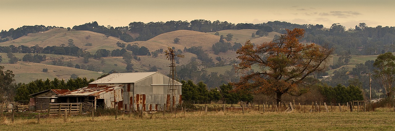
During the ground truth process, taking a record of other landscape features, such as rocks, roads, buildings, water courses, disturbed ground etc will also be important for later labelling and training of models to identify areas of non-vegetation. In addition, undulating, hilly or mountainous terrain should also be recorded and should be taken into account in the mission planning phase where use of “terrain following” is likely to be important for stabilising the effects of elevation on image quality.
Terrain following in UAV missions is of paramount importance as it ensures the drone's ability to navigate varied landscapes with precision and safety. This feature allows the UAV to maintain a consistent altitude above the ground, adjusting its flight path based on the terrain's topography. Whether surveying rugged landscapes or inspecting infrastructure, terrain following ensures optimal data collection by keeping the UAV at an ideal distance from the ground. This capability not only enhances the quality and accuracy of collected data but also minimizes the risk of collisions, enabling efficient and reliable mission execution across diverse and challenging terrains.