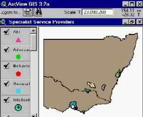
Libby Clark, in combination with SPAN, is creating a customised Arcview GUI on the top of a Spatial database of health institutions in Sydney, Melbourne and Wagga. The database will include hotlinks to websites about each of the institutions and will therefore provide useful information thereon. The completed product is designed to be a research tool for third year practical students and potentially the wider community to not only find out where these institutions reside, but to find out all about the institutions.

The GIS has a network modelling program which can evaluates the distribution of resources, such as good or people, between centres which maybe schools, bus stops etc.
Designed specifically for line features organised in connected networks, typically applies to transportation problems and location analysis.
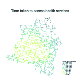
The sample figure shows the time taken to travel along the road network to access health services in Junee Shire.
