Sustainability
- Home
- Locations
- What you can do
- LiFE Framework
- Sustainable Development Goals
- About us
- Grants
- Events
- Contact us
Now searching for:

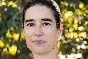
Dr Ana Horta of the Gulbali Institute.
The need for fishery restoration efforts is growing globally. However, the allocation of resources often falls short, especially in low-income countries. This is particularly pronounced in South East Asia, where fisheries play a significant role in providing food security for millions of people. Charles Sturt University’s Dr Ana Horta, Senior Lecturer in Spatial Sciences, worked with a team from the Food and Agriculture Organisation of the United Nations to leverage geospatial data and modelling to maintain river connectivity focused on the Citarum River catchment in Indonesia.
The work utilised integrated geospatial data and local knowledge to efficiently prioritise fish passage barriers. A valuable outcome of this methodology was the capacity building in spatial planning among stakeholders involved in water resource management. By empowering local stakeholders to accurately map and validate river infrastructure, evaluate barriers and make well-informed decisions about ecosystem restoration, a country’s ability to address water resource challenges improves.
Find out more about
Water resource management